Friday, 2 September 2016

Day 11. Stourport on Severn to Worcester.

Thursday 1 September.

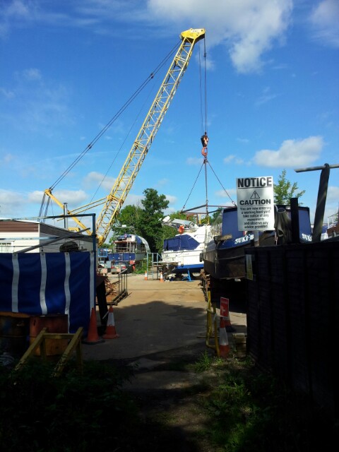
To the south of Stourport marine activity increased and the path actually passes through a boatyard with large cranes. A little further along we passed a large marina packed with small boats.

We then came to Lincomb lock, a Severn lock rather than a canal lock. A times there are barriers across the Severn. Steel hawsers threaded at intervals with large orange plastic floats.

The pathway was good but varied in character from natural to mowed. There were lots of campsites in the area, most very smart but some appeared derelict, possibly a result of flooding.

We passed by what appeared to be a riding school with a large event area. Some people looked to be under instruction.

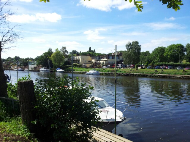
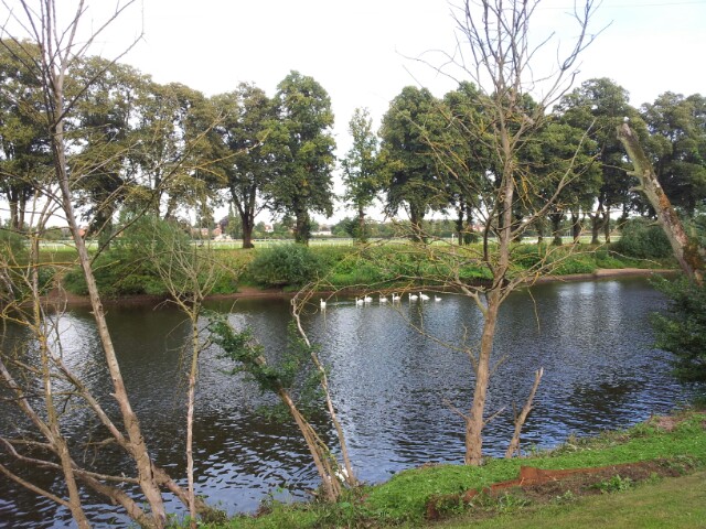
There were quite a few barges and some interesting river views.

We crossed the river by the bridge near the Holt lock and called in for a shandy at the Hotel nearby.

At this point the path left the river to run over farmland. There were lots of signs set out for a 24hr endurance running race due to start to day.

We lost the trail once or twice with the surfeit of farm tracks and the fact that some markers had been removed/damaged. The race seemed to be following the route of the Severn Way.

We passed through a quarry on the way to Grimley, with its fine church and thatched pub. From Grimley the path headed back to the river where it remained all the way to Worcester.

For the first time we found the path almost blocked by a fallen tree and at times it came dangerously near to the river. We entered a wooded area with a sign indicating we were now in the city of Worcester. The were lots of 'no camping'  and 'no fires' signs.The path then left the wooded area to run in front of very expensive riverside housing into Worcester.

We were very tired by this time, having been walking over 9 hours but we found that two benches located beside the river had been vandalised. What a surprise in front of such  well kept gardens.

We crossed over the Severn by a small footbridge near the racecourse to eventually reach our hotel, the George, in the centre.

I check the gps and we had covered 19.5 miles! At least we now have a day off to go to the laundrette.
Day 10. Bridgnorth to Bewdley.

Wednesday 31 August

Hopefully the photographs will be added to these blogs in Worcester.

We stayed at Bassa Villa in Bridgnorth, a grade 2 listed pub, overlooking Sabrina. We also ate our evening meal and early breakfast there (7:45am). We decided not to breakfast in the upper town of Bridgnorth as we found yesterday evening that the walk up and down would be too much before our 26km walk today.

Upper town had some beautiful old buildings but we forgot the camera. Perhaps another visit.

We also decided if we had another knot weed fiasco today we would give up the walk beside the Severn.

We left Bassa Villa just after 9am on a beautiful sunny morning.The fine weather lasted all day. We photographed the bridge and then went off down the path to start fighting the vegetation, or so we thought. After the overgrown entries to Cressage and Ironbridge we were prepared for the worst. The worst never eventuated. There was some bad knot behind some expensive houses as we were leaving town, with some brambles at face height, but there was no blockage of foot movement! Surprisingly the path was generally good all the way to Bewdley. It was about what you would expect for a major country walk.

The stress levels gradually fell as the path remained clear. There was what appeared to us to be some deliberate blocking of signage marking the entance to the Severn Way, particularly near housing. In the countryside marking was pretty good.

As a result we've just collected a group of photographs for you to peruse at your leisure. There are even photographs of flowers, including  knot weed.

A lot of the better track condition could be thanks to a group of anglers from Birmingham, see attached photograph. They had been cutting the weeds along the riverbank. Thank you gentlemen. You will also see a photograph of an angler who caught a roach just as we were passing. As soon as I had photographed it he released it back into the Severn and it swam off. We also saw a couple of guys fishing on a shallow island in the river whilst two women watched them from the bank.

Miracle of miracles we also met people doing short day walks. It proves the paths are used when they are passable.

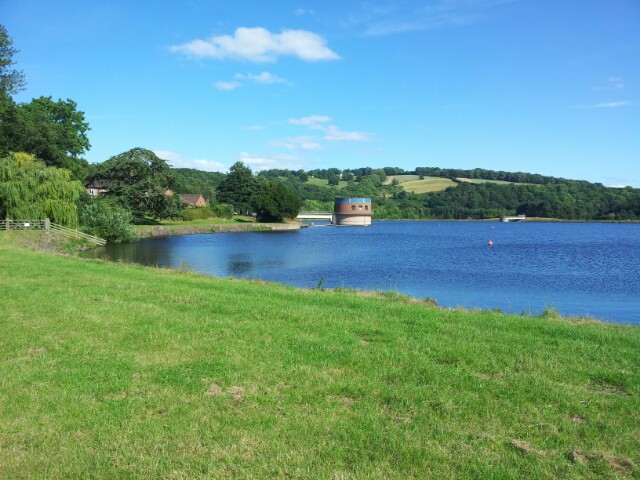
Most of the photos are self explanatory. The Trimpley reservoir is above the path and located about 7km before Bewdley.

We stopped for a shandy at the Unicorn Inn, Hampton and  cream teas at Upper  Arley.

The path became more tricky to follow near Bewdley and we found our OS maps were out of date. The Way had been re routed in quite a few places to the benefit of housing but with a loss to walkers. I fear this may be being planned near the entrance to Ironbridge.

A long day, and a similar one tomorrow but then we have a day of and shorter day walks.

Tuesday, 30 August 2016

Day 9. Cressage to Bridgnorth.

Tuesday 30 August.

We had very large rooms at the Riverside Inn and the view from the bedroom is our first photograph. We took our evening meal in the restaurant, which was very good. However the Inn was difficult to access on foot, without a car and the host seemed to have little knowledge of local taxi companies or bus times. We got our details from the Internet.

We breakfasted at 7:30 am and waited for the 8:53 bus to Cressage. When it had not arrived at 9:00, and we were just starting to ring for a taxi, it turned up. The first bit of the walk was quiet but up hill to a village  called Sheinton where we photographed the church.

Near the top of the hill we passed the road sign in the next photograph which reminded me of something we may not have mentioned. The Roman name for the River Severn was Sabrina.

The road walking switched to a pleasant little downhill track through forest. Can you see the entrance to it in the photograph with the 'Private Road' sign. The entrance is between the road and the sign. The following photograph shows what it's like on the path. The following photograph shows where the route joins the main road and you will see no evidence of a right of way.

The path then followed the main road, past an Abbey, down to a bridge over the Severn. There was no pavement so it was not too pleasant, but the view across the Bridge, in the next photo was magic. Note the well cut grass right down to the river's edge. Contrast this with the next two pictures where Shiel is trying to access the public Severn Way on the same river bank.

With all the knot weed we lost our route and didn''t find the crossing, over a bridge, to the other bank of the Severn so we continued, via a private individual's path diversion, to a pleasant public park and on to the beautiful Iron Bridge in the next photograph and we cossed there.

We picked up the Severn Valley Way for a few km, where it was well maintained. The 3 photographs show a nice church we passed before entering a wooded drive and finally ending at the Telford Bridge(?).

We then decided to leave the knot weed infested Severn Way and follow the permissive cycle path that runs almost parallel to it. Strangely it is not infested with knot weed. At one point it joined the Severn Valley way again down to a farm. It was clear for a little while but then became impassable. It appears to us that a decision has been made to sacrifice the path to private development.

The last two photographs of the Severn river were taken when the two "Ways" were in close proximity.

Shiel and I were both knackered when we arrived in Bridgenorth at about 5:30pm.
Shilel has a black eye and scatches on her arm and leg. I,ve just got one scratch below a finger nail. It did bleed enough to put red blobs on my trousers. I thougt at first it was berry juice. Any more infested paths and we'll go 'Our Own Way.'